Blog Category

iNavX and the wifi router

Write By: admin Published In: Blogs Created Date: 2014-05-21

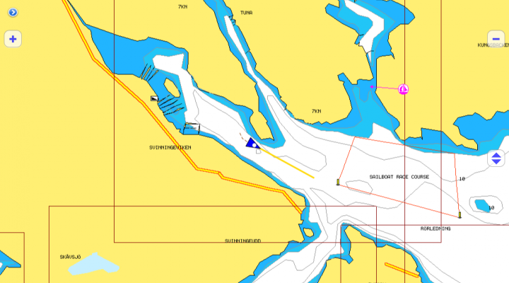
Using the iPhone's and iPad's and iPod touch's WiFi connection, iNavX™ can use instrument and position data for realtime charting and plotting. iNavX™ supports waypoints & routes including KML (Google Earth) and GPX. iNavX was supported by the vyacht wireless router from day one.

iNavX™ brings the freely available, official and up to date NOAA RNC raster United States waters marine charts to your iPhone, iPod touch and iPad. Included detailed chart coverage: West Coast, Gulf Coast, East Coast, Great Lakes, Alaska, Hawaii, and US Virgin Islands.

Tags:

Same In Category

Related Blogs By Tags

Leave A Comment

Captcha


paypal cc
Powered By OpenCart
vyacht AB © 2024